Saturday, October 30, 2010

Indian Hill Forest Preserve 10-30-10

It's not a large FP, and the hike was probably no more than a mile and a quarter. No creek for the beagle.

We just followed the trail from the parking lot, taking the loop segment to the east first, and coming back on the west segment.


But, it was something a little different.


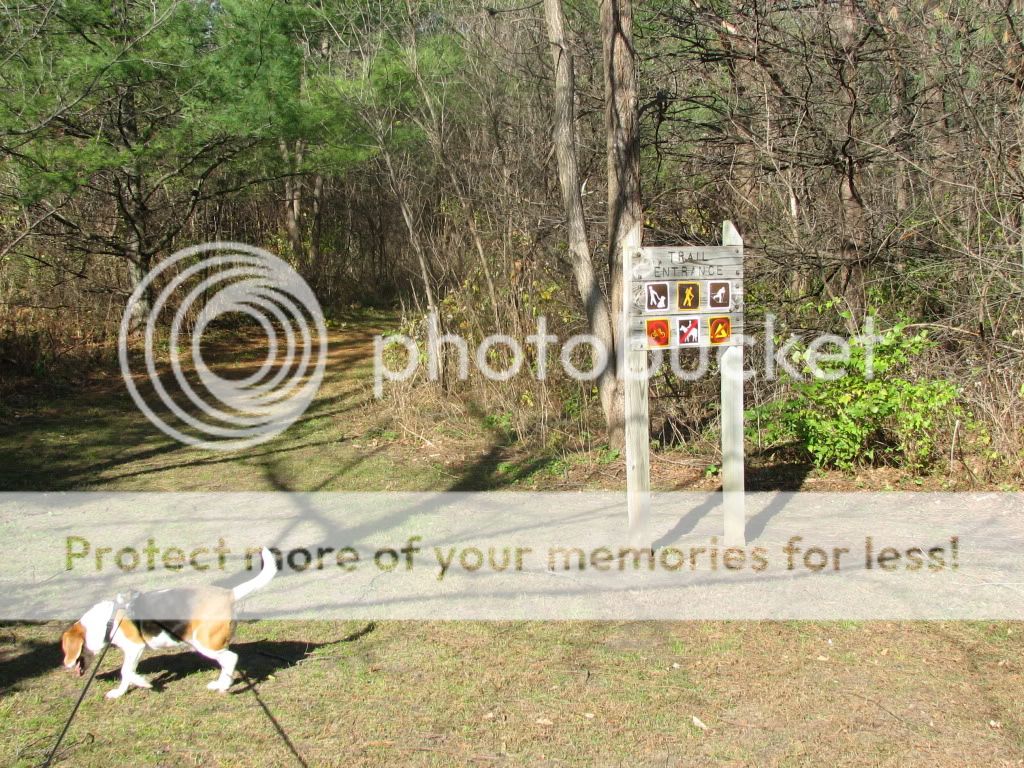
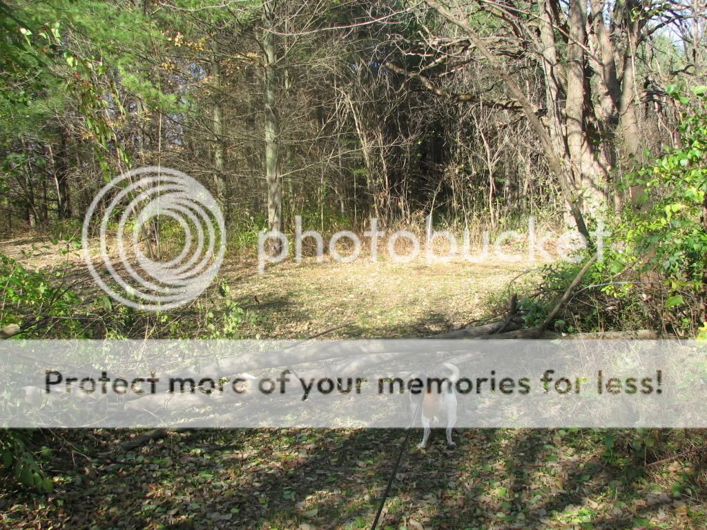
The trail is mostly a grass path through the forest, as shown here at the trail head.


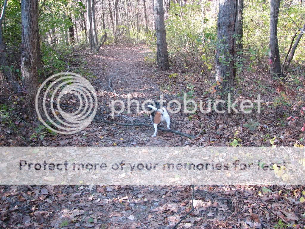
This is where the trail forks. I guess the FPD does not do much trail maintenance on this trail, as it had a fair amount of large log type debris that I had to climb over. Or maybe they put it there deliberately to deter bikers or something.


Views fom the overlook area. I'd guess the bluff is about 50 feet above the flood plain floor in the foreground.


The bench promised by the trail map really is there. I am not sure why as there really is not much to see. The trail up to the bench is really a loop that goes out to the bench and back, and not a single trail as shown on the trail map. The two sides of the loop are never more then 50 feet apart I would guess.

I never found the section of the trail that is shown coming down off the bluff onto the flood plain. I suppose one could just try and walk down the side of the bluff. There are a few places you might be able to do it, but I was not going to try it.

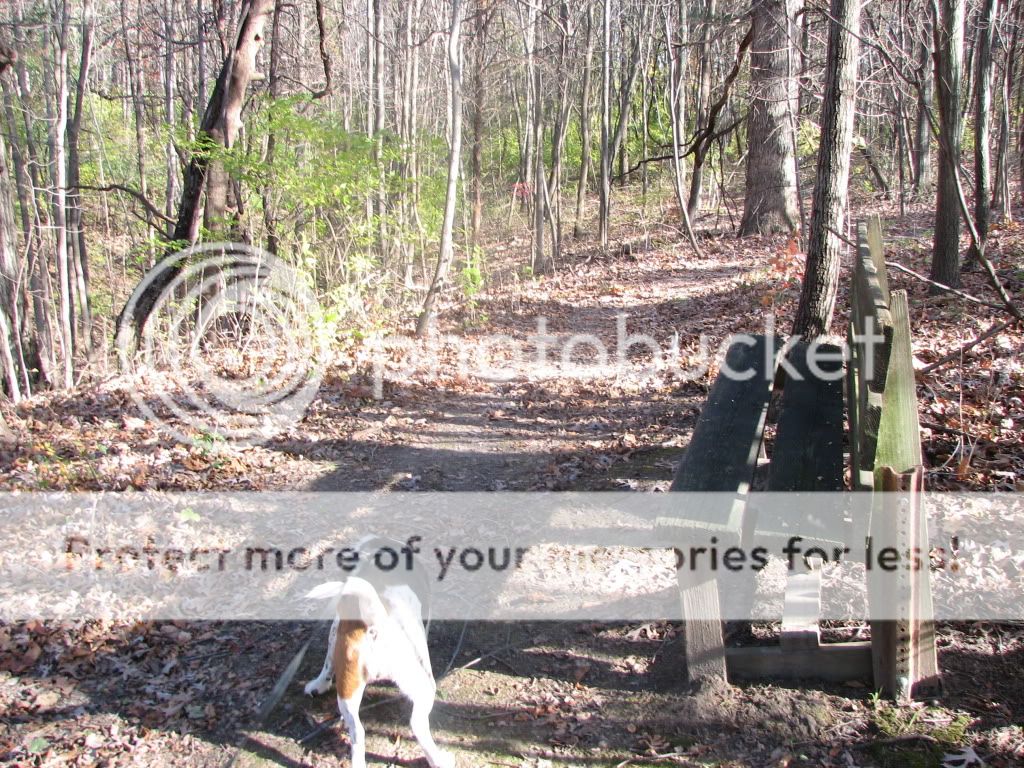
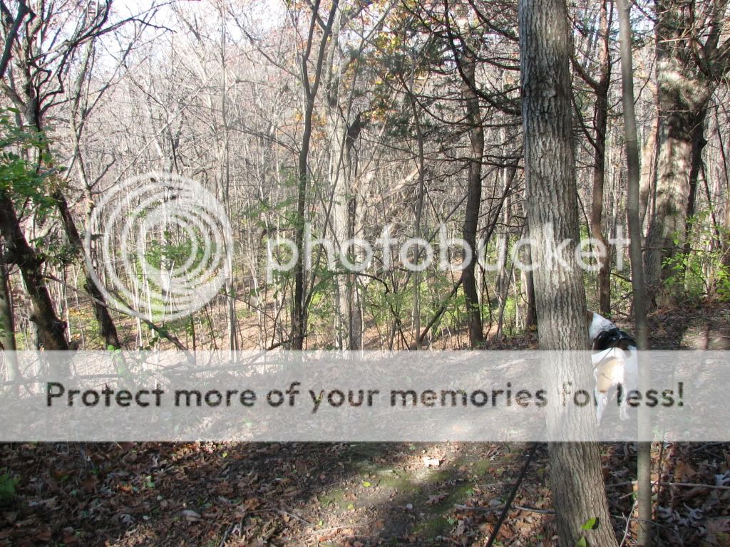
More stuff across the trail. This is near the bench.

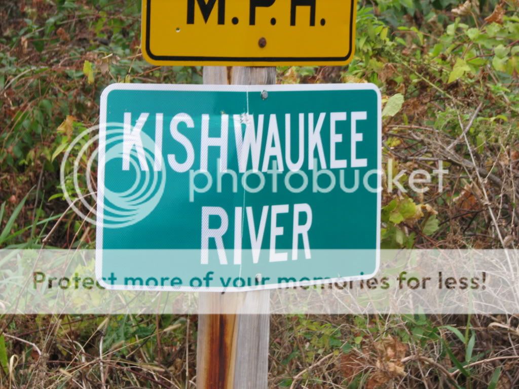
If you look closely, you can see Kishwaukee Road through the trees. This was taken coming back to the car just past the trail head. There is considerable traffic noise.

Some interesting fungus I noticed on my way out.

We also stopped by Trailside FP. It's basically just a driveway through a small wooded area that has a sign midway that says you can't go any farther because it is private property beyond the sign. Who knows what the heck that is about. Maybe the people that live past the sign did not want to maintain the driveway anymore so deeded it to the FPD or something.

Recent wind storm

I don't know how strong the winds were but they blew over my wife's decorative windmill and my turkey decoy that were located in a flower bed in front of the deck.

The windmill has been there for several years, staked into the ground in four places. It's been through some pretty good gusts and never had an issue previously.


I thought the turkey decoy had come out of the ground, but the wind actually snapped the stake.


There was also some damage to the wood fence on the west side of the house. It belongs to someone else, and they patched it back up. It's only been there for a few years, so it's not as if it rotted.

Must have been some serious wind.

Sunday, October 24, 2010

The mighty Kishwaukee River

I must have driven by this a couple hundred times now going back and forth to visit my wife's relatives. I have been meaning to take a few pictures, as I find it pretty funny.

It's located just east of Harvard, IL on O'Brien Road, just off of state route 173.

On the north side of the road, its a couple of culverts that feed into a culvert that goes under the road, and on the south side of the road is is a ditch that is not more than 3 feet wide.

The pictures did not come out real good, I think my wife was not holding the camera very steady. I will update the pictures with some better ones some time in the future, when I get around to it.


This is the sign.


[12-25-10] New pictures posted.

This is the view looking at the north side (upstream) of the road. It's just a single culvert maybe 24" in diameter.


The view looking downstream (south). Not even a serious ditch at this point.


The Pheasants Forever sign next to it.

Tuesday, October 19, 2010

10-17-10 Espenscheid Forest Preserve

I accidentally printed out the wrong trail map, so when I got to the preserve, I did not have a map I could trust. So I looked real closely at the map they had posted on their sign. It appears to be obsolete as it only shows a trail along the bluff above the creek. I am always a bit nervous about walking around in the woods without a map, but I figured I could walk along the bluff above the creek and down to the river without getting lost since the river is visible the whole way, so that is what I did. I started in the parking lot not far from the canoe launch and walked up to the trail head and up the bluff to the trail. It runs atop a bluff along the creek, perhaps 20 feet above the creek.

It was a very short hike, no more than perhaps 1/4 mile on the trail, and another 1/4 mile on the road to the trail head. Some day we will come back and hike the rest of it, or maybe start here and go to Black Hawk Springs FP to the south that the trail connects with.
The view from the bluff above the cliff is pretty nice. I left the camera in the car so these are cell phone camera pictures.

The gravel area in the background on the river bank is either the old or the new canoe launch.
I guess beaver have been eating some of the trees.
We took the trail down to the river and then head back toward the canoe launch. There is a wooden foot bridge over the creek where it empties into the river. It's pretty wide, so I guess they figured they did not need railings. Seems odd though, given its a 6 or 8 foot drop to the creek below.


The creek beagle got some play time and a drink in the river. She played in the creek a little too when we walked up the road to the trail head.
I am not sure if the gravel is the new canoe launch or the old one being covered up.  The area I saw being used as a canoe launch is just beyond the gravel. It seems like a better bet as a canoe launch, but who knows.
I guess if you are an infant, you should not drink the water. We brought our own, so was not an issue, and neither of us is under 6 months of age anyway.

Saturday, October 16, 2010

Cold Steel Bushman Wood Splitting

My wife wanted to have a fire tonight and I don't have much wood that is dry enough to really burn.

So, I took my Bushman and split some wood that has been sitting in my woodpile. It is a mixture of whatever.

I split about 1/2 a recycling bin full, into 1 inch or so chunks. They started out as 2-4" diameter chunks of maple, pin oak, pine, and even a couple chunks of juniper.

It took about five minutes.

There are a couple smaller chunks that I did not split at all in the very bottom, so not all of it was split.

I also took one chunk, perhaps 2 inches in diameter, and made it into smaller chunks for use as kindling.


It worked a lot better than I anticipated. I have played with it before, and it seemed to work OK for a few splits, but this is the first time I did any significant amount with it. I have always used a hatchet or ax before. This seems like a lot less work and it also seems safer, and simpler.

I got three of these knives for $39 shipped last winter. Factory seconds. I thought that the thinness of the blade would be detrimental to batoning wood like this, as I thought a thicker blade would be a better wedge. But, the thin blade seemed to work pretty good.

[added 10-24-10]
I tried it again on Friday night. It worked good on most of what I used it on but there was one chunk that I gave up on after beating on it for maybe 2 or 3 minutes. It just would not split. I got a blister on my finger from the chunk of wood I was using as a baton and still could not get that chunk to split. I have no idea what wood it is, but it was very tough. It did burn though.

Friday, October 15, 2010

10-15-10 Fuller Memorial FP

I had part of the day off so I took the beagle to Fuller Memorial FP , SW of Rockford. It's not a big FP, and only has 2 miles of trails according to the FP website, and sadly, no creeks. But, I have decided to hike in all of the FP facilities that have trails, and I wanted to try out my new boots, so off we went.

I had planned to hike both of the trails on the map, but there is a locked gate on the road going to the southern trail. I don't know if it is to keep everyone out, or just cars, but I decided not to walk down there.  Maybe that is what the note on the trail map saying "bird sanctuary closed to public" means.

We started at the trail head near this ball diamond. You can't see it in the picture, but the trail starts to the left (NW) of the ball diamond.
The trail is a mowed grass and dirt path through the fields and some wooded areas.
 We saw a couple rocks like this along the way. I guess they are for sitting on.
 A crew was out raking and blowing the leaves off the trail in the wooded area, where it is mostly dirt.
 The beagle was having a nice walk, even sans creek.
In the wooded area where the trail was mostly dirt, there are a fair number of exposed roots. They have all been painted blaze orange.  I have not seen that elsewhere.
One of several access paths along the field where the ball diamond is located.
A fence with a missing section leading to some private property. I guess they wanted to be able to get to the FP without having to go to the entrance.
This fence seems to separate off the bird sanctuary area. It's in pretty bad repair in some areas with poles that have broken off, and trees that have fallen on the wire mesh fence.
We get back to the parking area, but not before stopping for some nice fresh cool water for the beagle.
This is the locked gate to the bird sanctuary area. If there is bus parking, I am betting there is some access allowed, maybe only school groups and such.
A group of high school age students came into the park while we were there. They were running on part of the trail. Possibly a cross country team. We saw a Winnebago school bus parked near the outhouse when we left. The bus driver was laying on a picnic bench. Must be nice to have so much tax payer money that you have to spend some of it busing your cross country team to a FP so they can run in the woods.

I wonder if the trail clearing and root painting is being done to accomodate the high school runners.
 Not a bad little hike. About 1.25 miles according to my cell phone pedometer. I kind of prefer horse trails, and longer hikes, and Wilma likes creeks. So we probably won't be back.

I saw a lot of what looked like game trails going into the fields of weeds. Perhaps the deer like to hang out there, although I did not see any, or any direct evidence of them. I did not see a lot of birds either. Maybe they are all hanging out in the bird sanctuary, or perhaps they have already headed for someplace warmer.

Most of the preserves I have hiked this season have trail segment(s) cut into the fields that are not on the trail maps. This one does as well. I only remember one here, and it appears to be a short cut on the north loop of the trail. Perhaps it also allows for closer inspection of the weeds, farther away from the edges of the preserve.

Belleville Hot Weather Boots

Well, I took the refund I got from the Chinese made jungle boots that failed and put them toward a pair of real mil-spec boots. I ordered them from an eBay seller named rodd1000us. They were $43 delivered. I suspect they may be factory seconds due to the price, but if they are, I can't find anything wrong with them. I thought the same thing about the ICW boots I got as well, and couldn't find anything wrong with them either. I ordered them on 10-13-10, and they shipped the same day, arriving on 10-15-10.

They came in a Belleville box.


 I am protected in case of pungi stick attack.


I had part of the day off the day they came so when I got home I put them on. They seemed to fit pretty well. They come with a pair of insoles. I might try them with the Dr. Scholls insoles I scavenged from the Chinese boots that failed.

I took the beagle for a short hike in a FP I have not been to before just to start wearing them in. They are a little heavier than the Chinese boots, but they are comfy and have good ankle support. I don't know how much use I will get out of them this season. I doubt they are real useful when it gets cold, although I was outside later in the evening and it was only in the mid 40s, and they were plenty warm. I will probably wear them for a few days or weeks and get them good and worn in.

10-11-10 Kinnikinnick Creek Conservation Area

After leaving Tuttle Clarkson, we got in the car and decided to go to another of their conservation areas (Kinnikinnick Creek) that is not far. A very nice place with a 3.5 mile horse trail that has been suggested to me by a co-worker. I had figured it was just too hot to take Wilma on a hike that far because while much of the horse trail is in the shade of wooded areas, there is also some big chunks out in the fields of weeds, and I didn't want to take any chances on it.

BTW, there does not appear to be any drinking water here either, at least I never found any, and none is shown on the trail map. So be aware of that if you come here. Bring your own water.

I drove right past the entrance the first time. The place sneaks up on you and the sign is well back of the road where you cannot see it until you are right up on it. We went down the road and turned around and came back. There are yellow diamond "park" signs on the road, but I just went by them and was going to fast to stop.


The horse trail will be closed for archery hunting a number of weekends in the coming months. The white paper in the upper RH side is the closed horse trail schedule.

So we drove around looking at as much as we could see.


We came across a creek crossing and Wilma got very excited. On our way back out we stopped at the creek crossing so she could have some quality creek time.


I had noticed on the trail map that the start of the horse trail leads to a horse creek crossing quite early on the trail, and it appeared to be all wooded area there, so plenty of shade. Wilma and I set off down the horse trail to find the creek. The horse trail parallels the creek for several hundred yards before the crossing. You can hear and smell it. Wilma was very excited.

The horse trail head is across the gravel road from the horse parking area.

It's a fairly typical horse trail that starts out in a field and then goes into a wooded area. It's uneven and rutty in spots, with exposed roots, rocks, etc. And quite a bit of up and down, but it's not real difficult. just interesting.

We got to the the crossing which is just a short distance from the creek car crossing we had visited earlier. The creek is only 6-8 inches deep here, and with my ICW boots on, I might be able to ford it, but I had shorter hiking boots on, and did not want to get my feet wet.


If you look closely, you can see a red pickup at the car crossing. A guy had brought his two dogs so they could play in the creek. 

There is a footpath along the creek bed between the horse and car crossings, so we walked over to the car crossing and Wilma played in the creek some more there.

Then we checked out the creek on the downstream side of the car crossing. Wilma really wanted to go downstream and tried to pull me in. I would have walked down downstream with her for a ways if I had my boots on that are taller, as it is not real deep there and is a pebble bottom that looked like it was walkable.


All good creeks have to come to an end though. She was one happy dog as we walked back to the car for the ride home. An older lady with a dachshund passed us on the gravel road back to where we had parked near the start of the horse trail. She asked if we were there for some dog training. I told her no, just some creek time. She replied that was why they were there as well.

It was too hot for Wilma to walk very far today, but we will be back some day to walk the horse trail and maybe the hiking trail too.