In some respects it was a bit of a disappointment, as both of the creeks shown on the map were mostly dry, with a few patches of standing water. But the natural spring and the river was enjoyed by the creek beagle. And by me. Despite me managing to get lost. I intended to walk from the Mulford Road entrance parking lot to the grand trail and back, for about a 3 mile hike. I got turned around looking for the creek shown on the map and ended up on the small loop which added about a mile. By the time I realized I was not where I really wanted to be, I figured what the heck. Might as well just finish it out. Then we did an extra small loop in the NW corner of the park just to see what was there. We stopped for some play time. The hike ended up being about 2:15 long.
Very muggy, about 70 degrees F. I drank most of the 2 quarts of water in the water bladder (Wilma got a little of it). Pretty buggy as well.
This is the bridge over the creek shown on the trail map near the parking lot. The creek was mostly dry here, with a few patches of standing water. There never was real good access to it anyway, and with no running water to speak of was not worth even trying to get to it.
You have to walk on the bike trail a couple hundred yards to get to the grand trail. It's a nice bike path. many of the trails are just mowed paths through the fields of weeds, like this one that comes in to the bike path near the bridge.
This is the trail down to the springs. Its well marked and is part of the grand trail.
It's mostly a down hill grade until you get to the springs, along the dry creek bed. This is fairly typical of the paths through the wooded areas. A little rough, muddy, and uneven, with lots of elevation changes, but nothing real difficult.
This is the natural spring. When we walked up I saw some kind of water critter (maybe a frog of some sort) scoot off underwater.
Wilma liked the springs. I could see water bubbling up from underground.
We followed the trail until we found a place to get to the river. Wilma went to check out the river and sank down to her knees in the muck. being a hearty beagle, she was not fazed at all by the mud.
A little farther down the path we found a spot more to her liking.
This is the north end of the big island shown on the trail map. Not shown are some canoing kids who were on the island out having some fun.
The mowed grass is typical of the path along this part of the trail. We find another spot for Wilma to check out the river. And rinse the mud off her paws.
Mussels I guess. There were quite a few of these shells on the banks here.
More of the shore line. The bridge in the background is for the bike trail. I had seen a large wading bird of some kind on the island in the background, but could not get to an advantageous spot to get his picture before he left.
View from the bike path bridge looking down stream (north).
A marker for the petroleum pipeline.
Not a great picture. I think the trail may have gone into the woods forward from here but was changed to go to the left for some reason. We followed the trail into the woods maybe 100 yards or so, and then went back to the main trail as it got a bit overgrown.
Some plant with a pod of red berries on it on the side trail. I saw a lot of these back there. Not sure what they are.
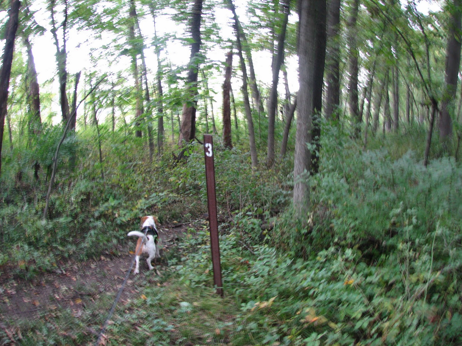
Marker 3. I think the side trail we saw a bit earlier comes out here.
The path going west from marker 3 is pretty much like this the whole way. Houses to the right (north) and a path mowed through the weeds.
We run across a toad on the trail. Wilma gave him a sniff, but was otherwise not real interested.
A field of prairie sun flowers.
Back to marker three after getting on the 1 mile loop while trying to find the creek that was all dried up.
A bad picture of marker 4.


1 comment:
more beagle...the beagle
Post a Comment