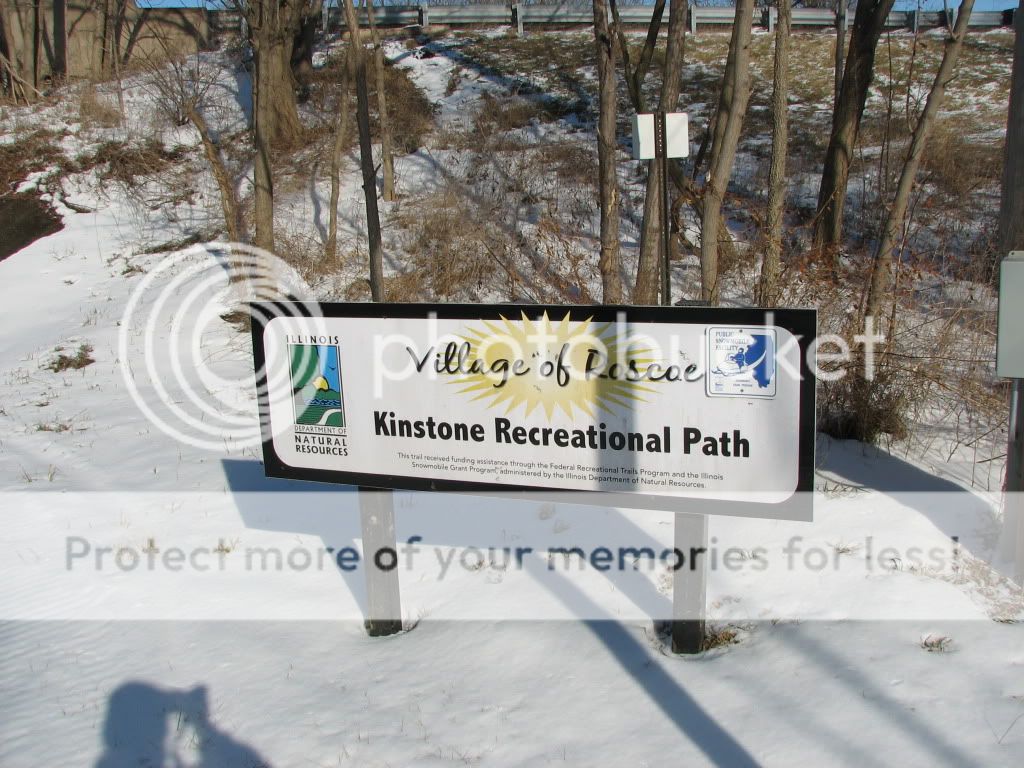
We previously hiked the Stone Bridge Trail its entire length. No snow then. It is a nice trail, with some good scenery. We have seen the two paths before but not walked them yet.
We were also on the Hononegah Path for about 100 feet from the end of the Leland Path to the start of the Kinstone Path, so maybe it is a four-for-one.
The view looking down the SBT south from Elevator Road.
Most of the Leland Path is either residential or retail. The local merchants apparently appreciate the Leland Path that goes by. The path had been plowed AND salted. There was still some ice and snow, but it was mostly bare pavement.
Trail head at Elevator Road and Main Street where the Hononegah, Leland, and Kinstone Paths converge.
It was hard to tell for sure due to the snow but it appeared that some of the Kinstone Recreational Path was paved and some of it was gravel. The Kinstone Path is mostly tree lined, and follows along the creek most of its length.
North branch of the Kinnickinick Creek as viewed from the Kinstone Path.
North branch of the Kinnickinick Creek as viewed from the Stone Bridge Trail.


No comments:
Post a Comment