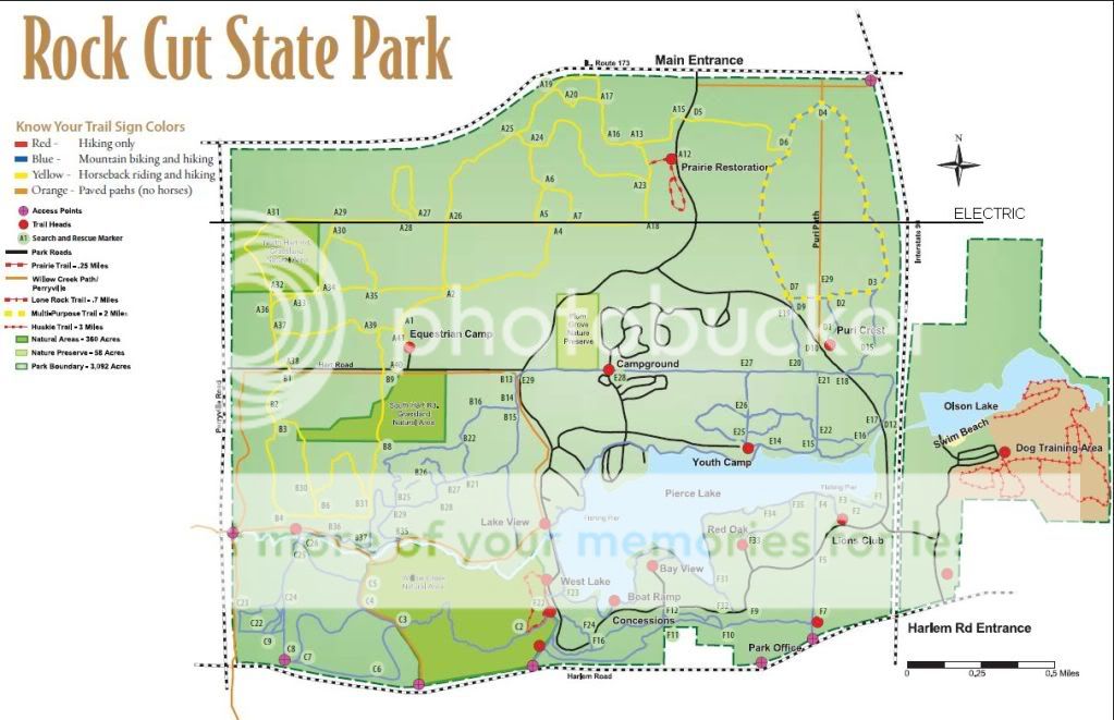
Base Camp said it was 2.9 miles. The intermittant creek (dotted blue line) the GPS map shows is really more of a drainage ditch. I am pretty sure it is right at the power lines on the east side of the loop. IIRC, it is a couple of small culvert pipes under a wooden walkway. I don't recall even seeing it on the west side of the loop. I will try to look next time. It does become a year round creek as it flows toward the west. It goes under the main park road about 50 feet north of the intersection where the park road forks, and eventually runs down by the horse camp. It is interesting that they show it becoming a year round creek as it goes past the western side of the loop.
Not all that much of any special interest. Lots of mud. Wilma had a good time playing in the mud puddles.


No comments:
Post a Comment